

Over the ages, the Colorado river has run down the canyon carrying tons of silt. This constant sandblasting has dug deep into the rock of the Colarado plateau. The river elevation is now 1 mile lower than the South rim.
|
|
Here, we're standing on the beach just upstream of Hance rapids. This is where the Tonto Trail ends, and the Escalante Route begins. On your left is the mouth of Red Canyon, and off in the distance is Grandview point, with fresh snow cover. I'd climbed down the New Hance Trail on the fresh snow the day before, and spent the night above Red Canyon. By the time I got here, it was mid morning. |
|
|
A view from Granite Gorge, on the River Trail. The dark granite of the gorge is the Hardest rock in the Canyon. In the background, we see Zoroaster Temple, which is on the Clear Creek Trail. |
|
|
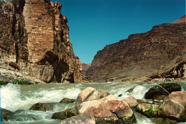
A close-up view of Papago Rapids, on the Escalante Route, facing East. |
|
|
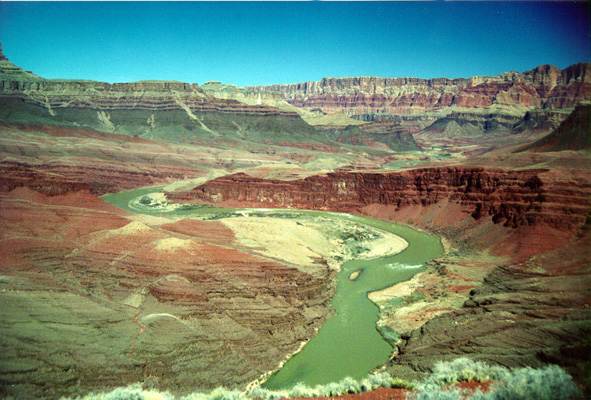
The Unkar delta, also on the Escalante route. Scene of at least one of the civilizations which have flourished in the Canyon. Here, we're standing on a hill downstream of the delta facing east. |
Only people in very good physical condition should try to get to river level and back on a day hike. In winter, the day simply isn't long enough for most people. And in summer, the heat can be deadly if you overexert yourself.